
 Forum
Forum
 News of NaviTotal.com
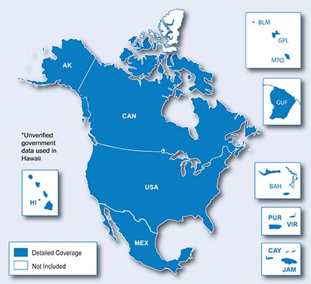
FID 7511
MS LOCK
- Hidden Content
- This board requires you to be registered and logged-in to view hidden content.
Unl.Gmap
City Navigator North America NT 2019.10.gmap.part1.rar
City Navigator North America NT 2019.10.gmap.part1.rar
City Navigator North America NT 2019.10.gmap.part2.rar ...


