Apparently I can use a g3 vision BlueChart on my device.
Now looking for a BlueChart g3 vision:- Bristol Channel and SW England (VEU463S)
Anyone know of a link
thanks
previous request: BlueChart g2 vision VEU706L - UK & IRE chart
It is currently Wed Dec 03, 2025 11:46 am
 News of NaviTotal.com
Site map of NaviTotal.com » Forum : NaviTotal.com
NaviTotal.com is a community where you can find all needed for your GPSBlueChart g2 Vision - VEU706L UK & IRE
Read more : BlueChart g2 Vision - VEU706L UK & IRE | Views : 2070 | Replies : 3 | Forum : New Maps
Garmin Nüvi 760 stuck in bootloop...
Aloha!
Ok I think I did something wrong.
I have the OSM maps from the website BBBike Extracts OpenStreetMap and I had downloaded a new one like I did a million times before.
After copying it to my SD card I must of done something wrong because my Garmin Nüvi 760 is now stuck in a bootloop.
No problem I thought, I'll just link it to my PC and restore the backup. Ehhrr no.... I ...
Read more : Garmin Nüvi 760 stuck in bootloop... | Views : 1742 | Replies : 2 | Forum : Software
Garmin Nuvi 67 actinge very wierd, please help
Dear all,
I have been a keen user to this forum and I know brainpower is abundat here, so I am hoping to get some help...
My Nuvi 67 has worked fine since 2016 when I unlocked it, and I have had several maps installed via SD card os .System directory and unlocked using gimunlock . I had a perfectly working EUROPE map installed, 3.85Gb on SD card. I cut It and copied to my ...
Read more : Garmin Nuvi 67 actinge very wierd, please help | Views : 1579 | Replies : 1 | Forum : General Discussions about Garmin
What's best for One IQ Routes?
Hi,
I am new to the world of TomTom and recently obtained an One IQ Routes which is on Navcore 9.541, Boot 5.5136 and Western & Central Europe 2gb maps v825.2157
I looked for the tutorials but couldn't understand what the procedures for such NAV2 devices are (there is info for NAV3). I am planning to download the Europe_West_1090_11489 package but how should I proceed next? Do I need to patch the firmware or just ...
Read more : What's best for One IQ Routes? | Views : 1326 | Replies : 1 | Forum : General Discussions about TomTom
need ford NX maps
hello any one can post map dvd europe and turkey NX for ford galaxy where including lithuania maps.thank you
Read more : need ford NX maps | Views : 1992 | Replies : 1 | Forum : Ford
Carminat TomTom Update
Hi
Just trying to sort a friends Carminat TomTom out and I think the latest version I am after is 05.2022 10.90 - is that correct?
Is there a way to get this update and the software to run it on an SD Card other than the ones you purchase? Been looking on the torrents but havent had much luck,
Thanks as always!
Read more : Carminat TomTom Update | Views : 8098 | Replies : 6 | Forum : Nissan/Renault
iGO Australia & New Zealand TomTom 2021.Q4
iGO Australia & New Zealand TomTom 2021.Q4

Content;
Credit; MegaDuck
Content;
- Hidden Content
- This board requires you to be registered and logged-in to view hidden content.
Credit; MegaDuck
Read more : iGO Australia & New Zealand TomTom 2021.Q4 | Views : 1785 | Replies : 1 | Forum : Maps, buildings, dem, POI
Re: UNLOCKING ANY GARMIN MAP
The last post in this thread is almost two years ago.
Is this tool still functioning? It doesn't seem to work for me.
Windows 10
City Navigator North America NT 2017.30
I follow along on this video
https://www.youtube.com/watch?v=JvZt0G-24rA
Running PGFT as Administrator.
When I drill down and select the TDB file, the PGFT program fills in all the info, but the 'Unlock Selected TDB' button isn't active and so does nothing.
Am I missing something? ...
Read more : Re: UNLOCKING ANY GARMIN MAP | Views : 7345 | Replies : 8 | Forum : Software
iGO Luna Europe FEUR (Russia Turkey Europe) HERE 2021.Q4
iGO Luna Europe FEUR (Russia Turkey Europe) HERE 2021.Q4
iGO Luna Europe FEUR (Russia Turkey Europe) HERE 2021.Q4
Credit; batiskaf
iGO Luna Europe FEUR (Russia Turkey Europe) HERE 2021.Q4
Credit; batiskaf
Read more : iGO Luna Europe FEUR (Russia Turkey Europe) HERE 2021.Q4 | Views : 2999 | Replies : 2 | Forum : Maps, buildings, dem, POI
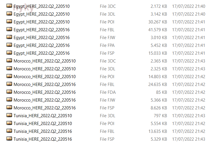
Igo Here Egypt, Maroco & Tunisia 2022.Q2
Igo Here Egypt, Maroco & Tunisia 2022.Q2
- Hidden Content
- This board requires you to be registered and logged-in to view hidden content.
Read more : Igo Here Egypt, Maroco & Tunisia 2022.Q2 | Views : 11506 | Replies : 46 | Forum : Maps, buildings, dem, POI
Last 10 active topics
Statistics
Total posts 166398 • Total topics 17582 • Total members 691045