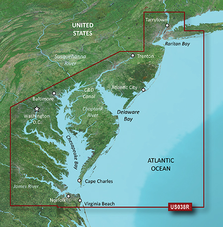
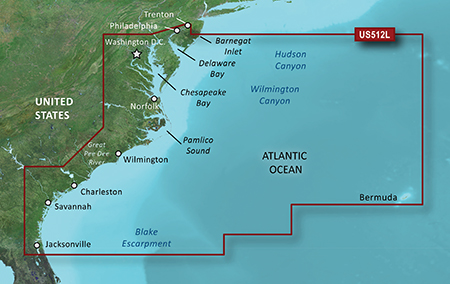
News of New Maps
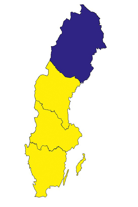
lock img
Version: 3.00
Released: Jan., 2012
FID 2575
NorraNorrlandv3.rar
http://www.share-byte.net/DZFgT6
Mellersta and Södra Norrland v3
lock img
Version: 3.00
Released: Jan., 2012
FID 2576
MellerstaSodraNorrlandv3.rar
http://www.share-byte.net/6Znt0B
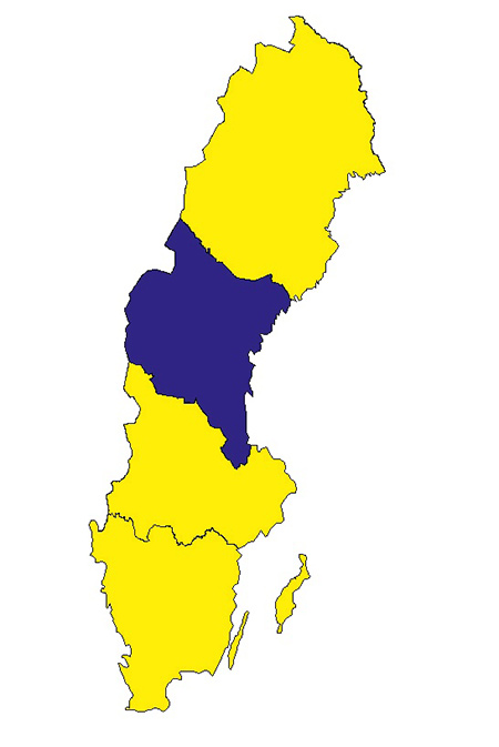
Svealand v3
lock img
Version: 3.00
Released: Jan., 2012
FID 2577
Svealandv3.part1.rar
http://www.share-byte.net/BPA3iH
Svealandv3.part2.rar
http://www.share-byte.net/EljUQA
Götaland v3
lock img
Version: 3.00
Released: Jan., 2012
FID 2578
Gotalandv3.part1.rar
http://www.share-byte.net/VMP21j
Gotalandv3.part2.rar
http://www.share-byte.net/n2kvOf