Forum
Forum
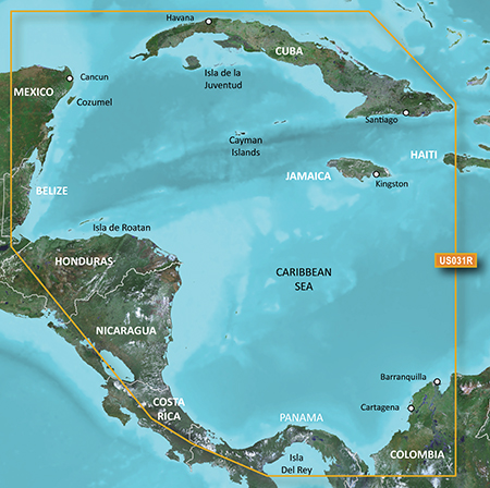
 News of New Maps
Part Number: 010-11878-00 (MicroSD/SD), 010-D1261-00 (Download)
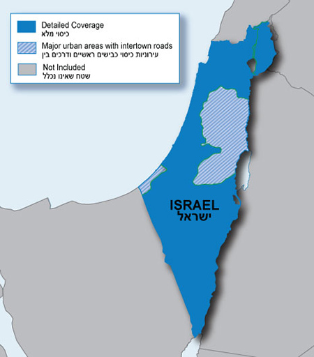
Navigate the streets with confidence. This product provides detailed road maps and points of interest for your device, so you can navigate with exact, turn-by-turn directions to any address or intersection.
- Shows more than 172,000 km (107,000 mi) of roads, including motorways, national and regional thoroughfares and local roads.
- Displays more than 40,000 points of interest throughout the country, including restaurants, lodging, ...