It is currently Sun Sep 14, 2025 4:51 pm

News News of New Maps

Site map of New Maps » Forum : New Maps

TOPO Czech PRO v2.00

TOPO Czech PRO v2.01

Prepare for your next great outdoor adventure in the Czech Republic with this activity-specific topographic mapping product. With recommended routes for dedicated biking and hiking activities, it offers ActiveRouting¹ for route planning and journey customization.

  • Provides digital topographic maps, comparable to 1:10,000 scale, for more than 326,000 km of routable roads
  • Contains more than 100,000 km of non-routable trails and 26,000 of road network outside the Czech Republic territory ...
Read more : TOPO Czech PRO v2.00 | Views : 5363 | Replies : 11


Garmin Hangneigungskarte (slope inclination map)

Garmin Hangneigungskarte (slope inclination map)
Requirements: for all Garmin Devices
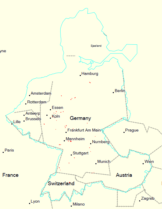
 hows supported birdseye
Overview: From now on you can for all our winter trips already see on the map how steep the terrain is where your moves you! This feature is unique on the web and completely free of charge.
This so-called "slope Layer" shows you the first time coverage for almost the entire Alpine region, whether the site has more than 30 ° inclination. ...
Read more : Garmin Hangneigungskarte (slope inclination map) | Views : 2885 | Replies : 3


North America NT 2015.30

Hi
I have a SD Micro with gmapsupp.img (North America NT 2015.30), which works fine in my Nuvi 1695, but whem used in a Nuvi 2699 LMT-D, it says "cannot unlock maps click OK". Next screen "Maps are corrupt and cannot be used".

any help would be appreciated

Ray
Read more : North America NT 2015.30 | Views : 1729 | Replies : 1


Auto Drive Hellas v4.00Τ (03/05/15)

Auto Drive Hellas v4.00Τ (03/05/15)

UnLocked Image & JCV:

Greek: Download or mirror Download

English: Download or mirror Download
Read more : Auto Drive Hellas v4.00Τ (03/05/15) | Views : 2717 | Replies : 2


What to do with RAR files from Map Downloads?

Hi,

I think I was able to download Europe maps and got an RAR file. I am not sure what to do with it.

I am looking for maps and POI's of Spain. I am using a Mio Digiwalker C310X with iGO8.

Thanks.
Read more : What to do with RAR files from Map Downloads? | Views : 3401 | Replies : 16


BlueChart g2 - HAE003R - Taiwan 2014.5 (16.00)

BlueChart g2 - HAE003R - Taiwan 2014.5 (16.00)

See your vessel’s precise, on-chart position in relation to navaids, coastal features, anchorages, obstructions, waterways, restricted areas and more with this detailed marine mapping data.
  • Shaded depth contours, coastlines, spot soundings, navaids, port plans, wrecks, obstructions, intertidal zones, restricted areas and IALA symbols.
  • Seamless transitions between zoom levels and more continuity across chart boundaries.
  • Standard 2-D direct overhead or 3-D “over the bow” map ...
Read more : BlueChart g2 - HAE003R - Taiwan 2014.5 (16.00) | Views : 2288 | Replies : 2


BlueChart g2 - HAE004R - Hong Kong/South China Sea 2014.5 (16.00)

BlueChart g2 - HAE004R - Hong Kong/South China Sea 2014.5 (16.00)

See your vessel’s precise, on-chart position in relation to navaids, coastal features, anchorages, obstructions, waterways, restricted areas and more with this detailed marine mapping data.
  • Shaded depth contours, coastlines, spot soundings, navaids, port plans, wrecks, obstructions, intertidal zones, restricted areas and IALA symbols.
  • Seamless transitions between zoom levels and more continuity across chart boundaries.
  • Standard 2-D direct overhead or 3-D “over ...


Garmin VietnamMap 2.04.0115

please delete - double post
Read more : Garmin VietnamMap 2.04.0115 | Views : 2004 | Replies : 0


Garmin - CityNavigator Europe NT 2015.40

Garmin - CityNavigator Europe NT 2015.40
Requirements: garmin devices, PC
Overview: Navigate the streets of Europe with confidence. This product provides detailed road maps and points of interest for your compatible device, so you can navigate with exact, turn-by-turn directions to any address or intersection. Route to restaurants, gas stations, lodging, attractions and more.
•Includes more than 10.8 million km (6.7 million mi) of roads, including motorways, national and regional thoroughfares and local roads, in ...
Read more : Garmin - CityNavigator Europe NT 2015.40 | Views : 3338 | Replies : 1


City Navigator Chile NT 2015.40

City Navigator Chile NT 2015.40

Navigate the streets with confidence. This product provides detailed road maps and points of interest for your device, so you can navigate with exact, turn-by-turn directions to any address or intersection.
  • Shows more than 172,000 km (107,000 mi) of roads, including motorways, national and regional thoroughfares and local roads.
  • Displays more than 40,000 points of interest throughout the country, including restaurants, lodging, attractions and shopping.
  • Gives turn-by-turn ...
Read more : City Navigator Chile NT 2015.40 | Views : 2166 | Replies : 0


Login  •  Register


Statistics

Total posts 165781 • Total topics 17505 • Total members 687058