Forum
Forum
 News of New Maps
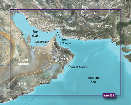
PID 1, FID 4291, region 5,11
- Hidden Content
- This board requires you to be registered and logged-in to view hidden content.
- Hidden Content
- This board requires you to be registered and logged-in to view hidden content.
BlueChart g2 Vision HD VAW450S The Gulf v2016.5 (v18).part1.rar
- Hidden Content
- This board requires you to be registered and logged-in to view hidden content.
BlueChart g2 Vision HD VAW450S The Gulf v2016.5 (v18).part2.rar
- Hidden Content
- This board requires you to be registered and logged-in to view hidden content.