Forum
Forum
 News of New Maps
NEW VERSION UPDATED 2012.01.23


This map is based on data from OpenStreetMap and is licensed under the Attribution-ShareAlike 2.0 Generic (CC BY-SA 2.0), and contains data from geodata.gov.gr.
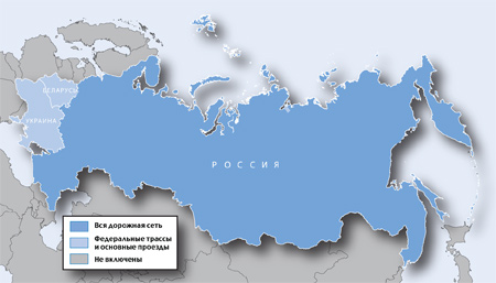
ROUTABLE BUT NOT CONTAIN ALL THE ONEWAY STREET DATA
This map is offered in two software/device forms:
For GARMIN software or devices.
Για Navitel software. CAUTION: To work properly the map needs to use Navitel with version ...


 or
or