 Forum
Forum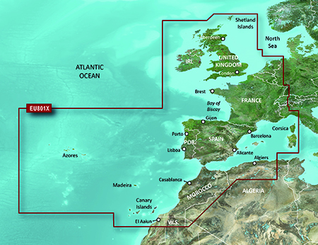
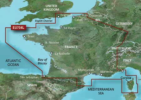
FID 2819
Garmin BlueChart g2 HEU801X - Europe-NW Atlantic-Iberian Pen v14.50.part1.rar
http://www.share-byte.net/N1CnxU
Garmin BlueChart g2 HEU801X - Europe-NW Atlantic-Iberian Pen v14.50.part2.rar
http://www.share-byte.net/SQS2v0
thanks caty

 Board index ‹ Site map ‹ News of NaviTotal.com ‹ News of New Maps
It is currently Tue Nov 04, 2025 2:18 pm
 News of New Maps
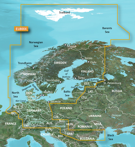
Locked: Download (3.63GB)
UnLocked: Download (3.63GB)
Locked: Download (2.97GB)
UnLocked: Download (2.97GB)
Locked: Download (618.77MB)
UnLocked: Download (618.77MB)
Nuvi 34xx JCV Full High Resolution split screen D3048100A: Download ...

Total posts 166120 • Total topics 17545 • Total members 689661


