 Forum
Forum
unl.img
- Hidden Content
- This board requires you to be registered and logged-in to view hidden content.

 Board index ‹ Site map ‹ News of NaviTotal.com ‹ News of New Maps
It is currently Wed Nov 05, 2025 6:27 pm
 News of New Maps
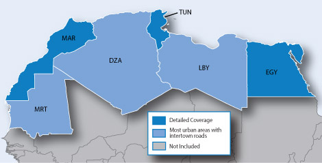
https://buy.garmin.com/en-US/US/prod513849.htmlTotal posts 166131 • Total topics 17546 • Total members 689709


