Forum
Forum
Wednesday January 5, 2011
Features
GPS vector map for Garmin and Magellan marks and a raster version for CompeGPS programs and Ozi Explorer, available for Windows and Mac operating systems, covering the whole of the Pyrenees.
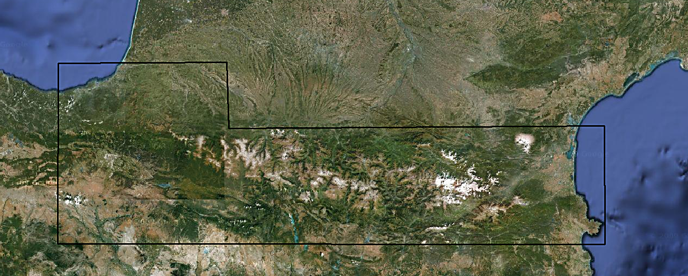
Area covered by the map
The latitude of the map is comprised of the West from the 1:50,000 sheet No. 63 of IGN, at the height of Zarautz, and from the Cap de Creus on the east. It is not a perfect rectangle, going along the border: the latitude starts at the top of the 43 º 30 'by the West (Biarritz), and 42 º 53'por the east (north of Perpignan). The latitude at the bottom goes from 42 º 10'por West (Arnett) to 42 º South 10'por (Empuriabrava).
Free map
[SIZE="3"]
[Please Register or Login to download file] or [Please Register or Login to download file] [/size]
The map works in both operating systems 32, and 64 bits, including Windows 7.
Compatible with versions up to 6.12.2 of Mapsource, the first version accepted integration with TYP customization files
[SIZE="3"]
[Please Register or Login to download file] or [Please Register or Login to download file] [/size]
In versions prior to Mac OS X Snow Leopard (10.6) do not display correctly and certain paths with customized GRs TYP.
Compatible with versions up to 3.0.1 of BaseCamp.
[SIZE="3"]
[Please Register or Login to download file] [/size]
Pass: [color="sienna"]navitotal[/color]
[Please Register or Login to download file]