 TopoActive Europe 2021.10 North East
 3.81 GB (4,092,526,592 bytes)
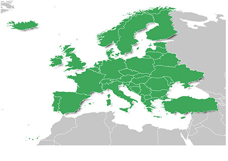
Austria, Denmark, Finland, Germany, Norway, Sweden, Belarus, Bulgaria, Czech Republic, Estonia, Hungary, Latvia, Lithuania, Moldova, Poland, Romania, Slovakia, Turkey and Ukraine
TopoActive Europe 2021.10 South West 3.34 GB (3,588,882,432 bytes)
Andorra, Belgium, France, Iceland, Ireland, Italy, Liechtenstein, Luxembourg, Malta, Monaco, Netherlands, Portugal, San Marino, Spain, Switzerland, United Kingdom, Vatican City, Albania, Bosnia and Herzegovina, Croatia, Greece, Kosovo , Macedonia, Montenegro, Serbia, Slovenia
- Hidden Content
- This board requires you to be registered and logged-in to view hidden content.
If zippyshare is blocked by your ISP then use a VPN - windscribe is free

 Forum
Forum


