
 Forum
Forum
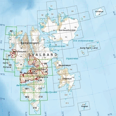
Explore the Svalbard islands with these detailed topographic maps, including glaciers, moraines, coastlines and lakes. You'll also have coverage of national park borders, conservation areas and nature reserves.
- Provides 1:100,000 scale aerial photography and overview maps based on 1:1 million map data from the Norwegian Polar Institute
- Contains an extensive points of interest database with road and trail data
- Displays topographic features, including land use, glaciers, moraines and built up areas, and hydrographic features, including coastlines, lakes and rivers
- Shows national park borders, conservation areas and nature reserves
- Displays digital elevation model (DEM)
- Includes MapSource® software which allows you to plan and organize trips by transferring waypoints, routes and tracks between your computer and device
FID: 1491
Original Image:
- Code: Select all
https://buy.garmin.com/en-GB/GB/prod94188.html


 too late for me, link down again. Pleazzzzz could you reup the map.

 Thank You !!!


