Forum
Forum
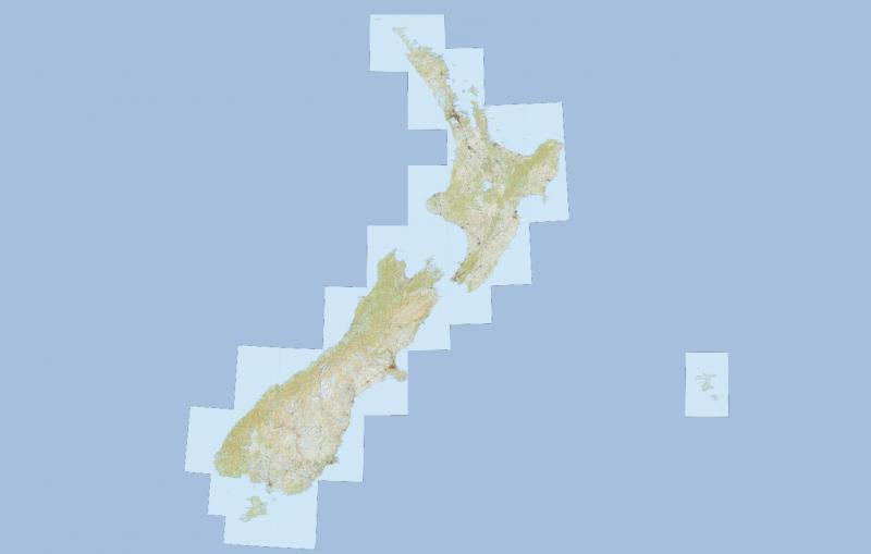
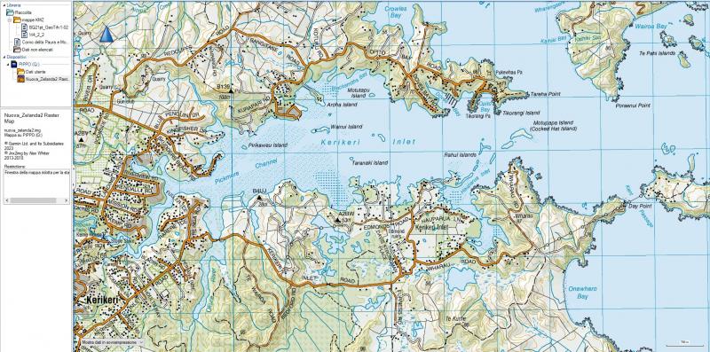
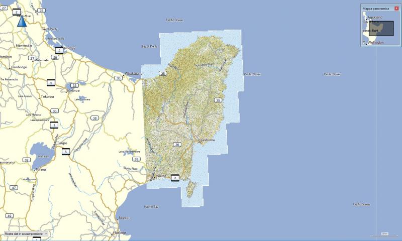
NZ TOPO Map is an interactive topographic map of New Zealand using the official LINZ 1:50,000 / Topo50 and 1:250,000 / Topo250 maps.
Info:
[Please Register or Login to download file]
Available for "Mobile Apps":
The following third-party apps are available that allow offline use of topographic maps:
[Please Register or Login to download file]
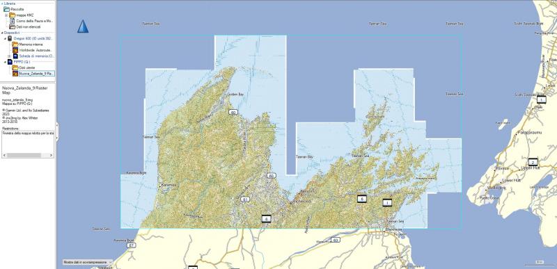
Map in jnx and img format, divided into North and South, taking into account the size for correct display.
New Zealand TOPO custom - SOUTH divided into 13 zones (20.55 GB):
- Hidden Content
- This board requires you to be registered and logged-in to view hidden content.
New Zealand TOPO custom - NORTH divided into 8 zones (15.87GB):
- Hidden Content
- This board requires you to be registered and logged-in to view hidden content.