
 Forum
Forum
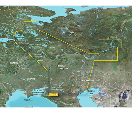
See your surroundings more clearly with BlueChart® g2 data. With BlueChart g2, you’ll get detailed marine cartography that provides convenient viewing of nautical content. BlueChart g2 allows you to see your vessel’s precise, on-chart position in relation to navaids, coastal features, anchorages, obstructions, waterways, restricted areas and more. You also will have access to detailed mapping capabilities that include safety shading¹, fishing charts¹, smooth data transition between zoom levels, harmonious transition across chart borders, and reduction of chart discontinuities.
- Realistic navigation features showing everything from shaded depth contours and coastlines to spot soundings, navaids, port plans, wrecks, obstructions, intertidal zones, restricted areas, IALA symbols and more.
- Smooth display presentation including seamless transitioning between zoom levels and more continuity across chart boundaries.
- Safety shading¹ allows user to enable contour shading for all depth contours shallower than user-defined safe depth.
- Fishing charts¹ to help scope out bottom contours and depth soundings with less visual clutter on the display.
- Choice of standard 2-D direct overhead or 3-D "over the bow" map perspective to make chart reading and orientation easier.
- Compatible with HomePort™ — software that lets you use BlueChart data to conveniently plan and organize routes from your computer before your trip.
FID 2240, region 17,2
[SIZE="3"][Please Register or Login to download file]
or
[Please Register or Login to download file] [/size]
[Please Register or Login to download file]
Credits to Catymag


