Garmin - Topo Portugal Light v4
Wed Aug 10, 2016 3:09 pm
Garmin - Topo Portugal Light v4
Requirements: Compatible with Garmin GPS, PC
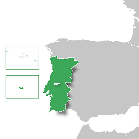
Overview: Orienteer and reference any outdoor or recreational activity in Portugal with this map, compiled using the community-generated OpenStreetMap (OSM) database.
Includes more than 173,900 miles (280,000 km) of road, path and trail network with routing designed for recreational activities
Offers more than 69,000 points of interest database with popular tourist destinations, including restaurants, bars, hotels, car parks, campsites and more
Displays hydrographic features, place names, man-made areas, natural features, land use areas, international boundaries and more
Shows mountain summits, height contours and digital elevation model (DEM) for route profile preview using our free downloadable trip-planning software, BaseCamp™
More Info:
Download Instructions:
inside:
image file
db file
hoster
filefactory
share-online.biz
Requirements: Compatible with Garmin GPS, PC
Overview: Orienteer and reference any outdoor or recreational activity in Portugal with this map, compiled using the community-generated OpenStreetMap (OSM) database.
Includes more than 173,900 miles (280,000 km) of road, path and trail network with routing designed for recreational activities
Offers more than 69,000 points of interest database with popular tourist destinations, including restaurants, bars, hotels, car parks, campsites and more
Displays hydrographic features, place names, man-made areas, natural features, land use areas, international boundaries and more
Shows mountain summits, height contours and digital elevation model (DEM) for route profile preview using our free downloadable trip-planning software, BaseCamp™
More Info:
- Code:
https://buy.garmin.com/en-US/US/maps/on-the-trail-maps/topo-light/topo-portugal-v4-light/prod554821.html#gallery-dialog
Download Instructions:
- Hidden Content
- This board requires you to be registered and logged-in to view hidden content.
inside:
image file
db file
hoster
filefactory
share-online.biz
Re: Garmin - Topo Portugal Light v4
Fri Aug 19, 2016 12:57 pm