Re: All Garmin map requests here
Wed Aug 18, 2021 1:54 pm
UK BluChart pretty please!
Re: All Garmin map requests here
Thu Aug 19, 2021 11:54 am
Does anyone have map for southeast Asia 2021 for Garmin Drive 51?
Thank in advance ^_^
Thank in advance ^_^
Re: All Garmin map requests here
Thu Aug 19, 2021 8:15 pm
waiting for middle east and north Africa 2022.10 already in Garmin express
Re: All Garmin map requests here
Fri Aug 20, 2021 1:01 pm
moluccensis wrote:UK BluChart pretty please!
new-maps/bluechart-vision-veu706l-ireland-the-netherlands-2014-t15339.html
Re: All Garmin map requests here
Wed Sep 08, 2021 2:18 pm
Hi,
I want the map to navigor Mediterranean Sea ?
Thank in advance
I want the map to navigor Mediterranean Sea ?
Thank in advance
Re: All Garmin map requests here
Wed Sep 08, 2021 2:32 pm
nicoz1000 wrote:Hi,
I want the map to navigor Mediterranean Sea ?
Thank in advance
Its here new-maps/bluechart-hxeu718l-mediterranean-sea-2017-v18-t21606.html
Re: All Garmin map requests here
Fri Sep 17, 2021 11:59 am
plz
vaw451s g3 red sea v2021.0
vaw451s g3 red sea v2021.0
Re: All Garmin map requests here
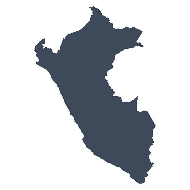
Fri Sep 24, 2021 7:18 am
Hi i need map for peru please
Re: All Garmin map requests here
Sat Sep 25, 2021 9:26 am
verdugo2018 wrote:Hi i need map for peru please
What type of Map
Topo 100K
Features: 1:100,000 scale for topographic details, roads and trails, water ways, points of interest (parks, campgrounds, scenic lookouts, etc.), national, state and local parks.
Best Used For: Since these maps do not contain routable roads and trails, these maps are best used for the type of adventurer that likes to plan ahead or for getting a general idea of the lay of the land. These maps also have larger coverage areas than Topo 24K maps, which is helpful if you don't want to mess with switching maps on your Garmin.
Topo 24K
Features: Routable, 1:24,000 scale for topographical details, roads and trails, water ways, points of interest (parks, campgrounds, scenic lookouts, etc.), national, state and local parks.
Best Used For: These maps are great for being guided around town or out in the woods, because they feature routable roads and trails. The lower scale for topography means more detail when determining if you want to head straight up the side of that mountain. The added detail means these maps cover smaller regions than Topo 100K maps.
HuntView
Features: Public and private land boundaries, land ownership information, high-resolution satellite imagery, routable, 1:24,000 scale for topographical details, roads and trails, water ways, points of interest (parks, campgrounds, scenic lookouts, etc.), national, state and local parks.
Best Used For: As the name says, these maps are best for hunting. Knowing if you are public or private land as a hunter is invaluable. The satellite imagery allows you see the tree canopy with a birds eye view, letting you know where clearings are at. These maps give you the confidence to know that you are hunting in the right spot.
BirdsEye Satellite Imagery
Features: Satellite images of the Earth with world wide coverage. Pick and choose the areas you need to download.
Best Used For: BirdsEye Satellite Imagery gives you a view of the Earth from a satellite. If you need to know what canopy coverage looks like, this is the map for you.
Trailhead Series
Features: Mapping focused on major trails such as the Appalachian and Pacific Coast trails, routable, 1:24,000 scale for topographical details, water ways, points of interest (parks, campgrounds, scenic lookouts, etc.).
Best Used For: If you are planning on hiking the PCT (Pacific Coast Trail), Appalachian Trail or the Arizona National Scenic Trail, these maps were designed with you in mind.
City Navigator
Features: Routable roads with the most up to date information Garmin has available. Points of interest that motorist need most (gas stations, restaurants, lodging, etc.).
Best Used For: These maps are best used for getting around the town, or taking road trips.
TopoActive
Features: Routable roads, trails, and walking paths. Points of interest that include restaurants, shops, schools and more. Does not include searchable addresses or elevation contour lines.
Best Used For: TopoActive is a good map to use for outdoor activities. If you are running, cycling, or hiking outdoors, TopoActive would be a good choice.
Re: All Garmin map requests here
Tue Nov 02, 2021 9:49 am
Any links for this file?
Singapore & Malaysia DEM (APACDEM MS 2.00).img
Singapore & Malaysia DEM (APACDEM MS 2.00).img
Re: All Garmin map requests here
Thu Nov 04, 2021 7:56 am
ivant wrote:Any links for this file?
Singapore & Malaysia DEM (APACDEM MS 2.00).img
Don't think you will find it, if not use the Garmin Worldwide Autoroute DEM Basemap NR 6.00_2019 from this Post
new-maps/city-navigator-thailand-2019-dual-fid-8297-t21495.html#p175940
Re: All Garmin map requests here
Fri Nov 05, 2021 11:26 am
Re: All Garmin map requests here
Sat Nov 13, 2021 7:06 am
Bluechart G3 VEU008R-Bay of Biscay would be fantastic.
¿Could somebody upload it?
Regards
¿Could somebody upload it?
Regards
Re: All Garmin map requests here
Tue Nov 16, 2021 6:40 am
Thailand 2021.40 map , if any one have please
Re: All Garmin map requests here
Tue Nov 30, 2021 5:06 am
TopoActive 2021.20 Australia & New Zealand please