Friluftskartan TOPO Sweden Pro v2 - Mellersta and Södra Norr
Mon Apr 11, 2011 5:32 am
[SIZE="4"]Friluftskartan TOPO Sweden Pro v2 - Mellersta and Södra Norrland[/size]
Venture On
Preparing for a great outdoor adventure? TOPO Sweden - Mellersta and Södra Norrland provides detailed topographic coverage in the Mellersta and Södra Norrland region of Sweden, with searchable points of interest and 3-D elevation data for compatible Garmin devices. This highly detailed topographic product is generated from a resolution of 1:50,000, and 1:100,000 over the Swedish part of the Scandinavian mountains. The included preloaded microSD™/SD™ card offers plug-and-play functionality for compatible devices.
Friluftskartan Pro is intended for use in Europe. All content and map data is available in Swedish.
Features
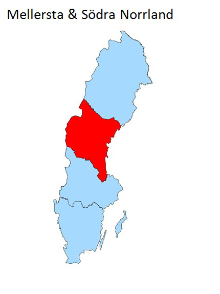
About Coverage
Includes digital topographic maps for the Mellersta and Södra Norrland region of Sweden.
[SIZE="3"][Please Register or Login to download file] [/size]
MapID: [color="sienna"]2059[/color]
[Please Register or Login to download file]
Venture On
Preparing for a great outdoor adventure? TOPO Sweden - Mellersta and Södra Norrland provides detailed topographic coverage in the Mellersta and Södra Norrland region of Sweden, with searchable points of interest and 3-D elevation data for compatible Garmin devices. This highly detailed topographic product is generated from a resolution of 1:50,000, and 1:100,000 over the Swedish part of the Scandinavian mountains. The included preloaded microSD™/SD™ card offers plug-and-play functionality for compatible devices.
Friluftskartan Pro is intended for use in Europe. All content and map data is available in Swedish.
Features
- Includes a digital topographic map on DVD and preloaded microSD™SD™ card.
- Integrates data from Lantmäteriet at a scale of 1:50,000 and 1:100,000 to provide the latest generation of vectorised topographic maps that are compatible with Garmin outdoor devices.
- Includes updated map data such as roads, paths, STF:s Hostels and mountain huts, lakes, elevation contours, rivers, vegetation, elevation shading, points of interest (POIs) from Teleatlas and more.
- Provides searchable POIs including restaurants, landmarks and mountain shelters.
- Includes preloaded MapSource® software that lets you transfer waypoints, routes and tracks between your compatible device and your computer.
About Coverage
Includes digital topographic maps for the Mellersta and Södra Norrland region of Sweden.
[SIZE="3"][Please Register or Login to download file] [/size]
MapID: [color="sienna"]2059[/color]
[Please Register or Login to download file]
Thu Jun 14, 2012 8:13 am
Hello,
can someone upload the map, please.
The Link dosen´t work.
Thanks
greetings
tatar
can someone upload the map, please.
The Link dosen´t work.
Thanks
greetings
tatar