Friluftskartan TOPO Sweden Pro v2 - Götaland
Sun Apr 10, 2011 3:49 pm
[SIZE="4"]Friluftskartan TOPO Sweden Pro v2 - Götaland[/size]
Credits to [color="sienna"]catymag friend who provided it[/color]
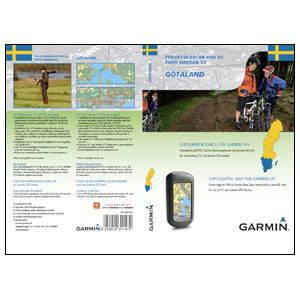
Preparing for a great outdoor adventure? TOPO Sweden - Götaland provides detailed topographic coverage in the Götaland region of Sweden with searchable points of interest and 3-D elevation data for compatible Garmin devices. This highly detailed topographic product is generated from a resolution of 1:50,000, and 1:100,000 over the Swedish part of the Scandinavian mountains.
Friluftskartan Pro is intended for use in Europe. All content and map data is available in Swedish.
About Coverage
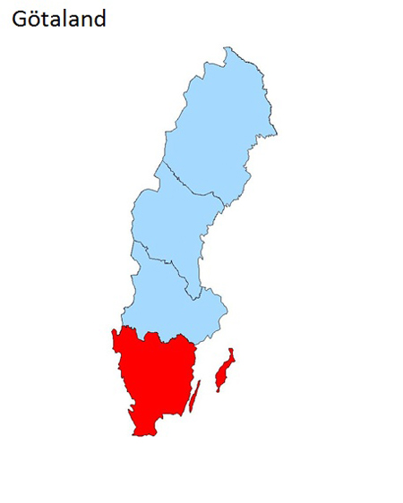
Includes digital topographic maps for the Götaland region of Sweden
[SIZE="3"][Please Register or Login to download file] [/size]
[Please Register or Login to download file]
Credits to [color="sienna"]catymag friend who provided it[/color]
Preparing for a great outdoor adventure? TOPO Sweden - Götaland provides detailed topographic coverage in the Götaland region of Sweden with searchable points of interest and 3-D elevation data for compatible Garmin devices. This highly detailed topographic product is generated from a resolution of 1:50,000, and 1:100,000 over the Swedish part of the Scandinavian mountains.
Friluftskartan Pro is intended for use in Europe. All content and map data is available in Swedish.
About Coverage
Includes digital topographic maps for the Götaland region of Sweden
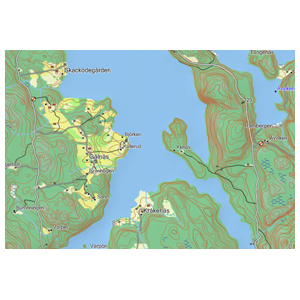
- Integrates data from Lantmäteriet at a scale of 1:50,000 and 1:100,000 to provide the latest generation of vectorised topographic maps that are compatible with Garmin outdoor devices.
- Includes updated map data such as roads, paths, STF:s Hostels and mountain huts, lakes, elevation contours, rivers, vegetation, elevation shading, points of interest (POIs) from Teleatlas and more.
- Provides searchable POIs including restaurants, landmarks and mountain shelters.
[SIZE="3"][Please Register or Login to download file] [/size]
[Please Register or Login to download file]
Sun Apr 10, 2011 6:17 pm
 or
or