BlueChart g2 Vision: VPC018R - New Caledonia-Fiji v2012.1 (v
Sat Jun 09, 2012 12:43 pm
Version: 2012.1
Released: Feb, 2012
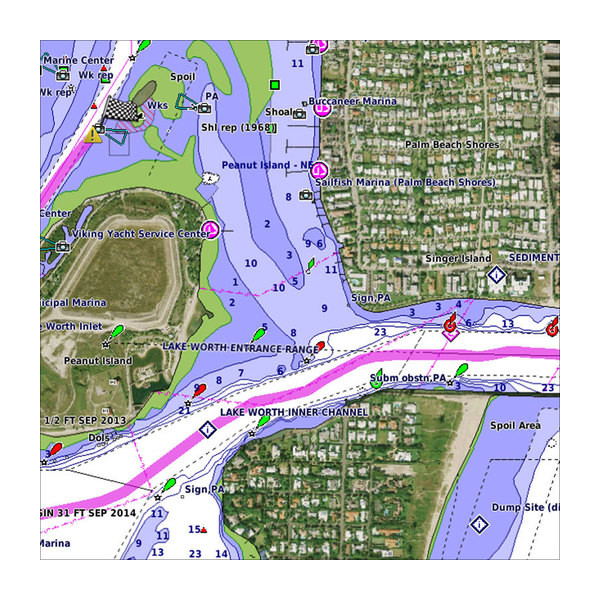
See your vessel’s precise, on-chart position in relation to navaids, coastal features, restricted areas and more with premium features found in this detailed marine mapping data. Includes all of the BlueChart® g2 features, plus 3-D perspective above and below the waterline, Auto Guidance, high-resolution imagery, and aerial photos of ports, harbors, marinas, landmarks and other points of interest.
Features
Includes realistic navigation features showing everything from shaded depth contours and coastlines to spot soundings, navaids, port plans, wrecks, obstructions, intertidal zones, restricted areas, IALA symbols and more.
Features smooth displays, including seamless transitions between zoom levels and more continuity across chart boundaries.
Includes high-resolution satellite imagery, when overlaid on the chart, provides the mariner with a realistic view of the land and water for unparalleled situational awareness.
Features aerial “real world” photos of ports, harbors, marinas, waterways, navigational landmarks and other points of interest, offering the mariner another powerful tool for navigating unfamiliar waters.
Includes Auto Guidance technology that searches chart data - tides, currents, marine services, coastal roads and points of interest - to suggest the best passage to a destination.
Offers MarinerEye view 3-D perspective, providing a bird's eye view from behind the boat showing the chart information for a quick, reliable and easy position fix.
Offers FishEye view 3-D perspective, providing an underwater view that visually represents the sea floor according to the chart's information.
Provides Safety Shading (in compatible units), allowing mariners to enable contour shading for all depth contours shallower than user-defined safe depths.
Provides Fishing Charts (in compatible units), allowing mariners to scope out bottom contours and depth soundings with less visual clutter on the display.
Allows users to conveniently plan and organize routes, from your computer, before your trip with HomePort™, compatible trip-planning software (sold separately).
.
Coverage Details
Detailed coverage of New Caledonia including Port de Muéo, Noumea, Port de Pouebo, and Baie de Yaté, as well as the isles of Ouvéa, Lifo, and Maré. General coverage of the southeastern Solomon Islands including Guadalcanal, San Cristobal, and the southern portion of Malaita. General coverage continues among the Santa Cruz Island, Vanuatu, Fiji, Tonga, Samoa, and American Samoa, including numerous detailed plans such as Port-Vila, Van., Suva, Fij., Nuku'alofa, Ton., Apia, Sam., and Pago Pago, Am. Sam.
locked image
PID 1, FID 2541, region 3,27
- Code:
[url]http://www65.zippyshare.com/v/8763472/file.html[/url]
[url]http://www65.zippyshare.com/v/96307805/file.html[/url]
[url]http://www16.zippyshare.com/v/37389186/file.html[/url]
[url]http://www5.zippyshare.com/v/88316766/file.html[/url]
[url]http://www57.zippyshare.com/v/63359569/file.html[/url]
Thanks to Ballebar