Bluechart g2 - HSA001R - South America East 2013.0 (14.50)
Fri May 02, 2014 1:54 pm
Bluechart g2 - HSA001R - South America East 2013.0 (14.50)
See your vessel’s precise, on-chart position in relation to navaids, coastal features, anchorages, obstructions, waterways, restricted areas and more with this detailed marine mapping data.
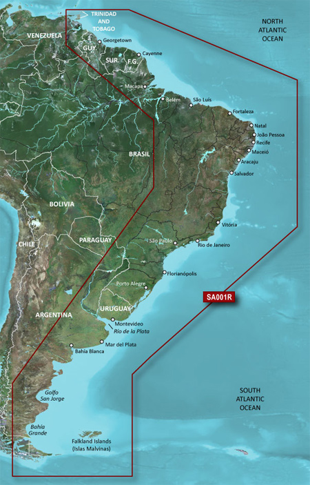
Coverage of the east coast of South America from the Golfo de Paria to Tierra del Fuego. Coverage includes Trinidad and Tobago; the Lago de Brasilia; the Rio de la Plata; the Rio Uruguay to Salto, Uruguay; the Rio Parana to Parana, Argentina and the Falkland Islands (Islas Malvinas).
FID: 2813, PID: 1, RID: 1, VID: 10
Locked Image: [Please Register or Login to download file]
UnLocked Image: [Please Register or Login to download file]
See your vessel’s precise, on-chart position in relation to navaids, coastal features, anchorages, obstructions, waterways, restricted areas and more with this detailed marine mapping data.
- Shaded depth contours, coastlines, spot soundings, navaids, port plans, wrecks, obstructions, intertidal zones, restricted areas and IALA symbols.
- Seamless transitions between zoom levels and more continuity across chart boundaries.
- Standard 2-D direct overhead or 3-D “over the bow” map perspective for easy chart reading and orientation.
- Safety Shading* enables contour shading for all depth contours shallower than your defined safe depths.
- Fishing Charts* to scope out bottom contours and depth soundings with less visual clutter on the display.
- Plan and organize routes from your computer with HomePort™ (sold separately).
Coverage of the east coast of South America from the Golfo de Paria to Tierra del Fuego. Coverage includes Trinidad and Tobago; the Lago de Brasilia; the Rio de la Plata; the Rio Uruguay to Salto, Uruguay; the Rio Parana to Parana, Argentina and the Falkland Islands (Islas Malvinas).
FID: 2813, PID: 1, RID: 1, VID: 10
Locked Image: [Please Register or Login to download file]
UnLocked Image: [Please Register or Login to download file]
- Code:
https://buy.garmin.com/en-US/US/maps/on-the-water-maps/bluechart-g2-interactive-maps/hsa001r-south-america-east-coast/prod91289.html
Re: Bluechart g2 - HSA001R - South America East 2013.0 (14.50)
Tue May 06, 2014 9:54 pm
Re: Bluechart g2 - HSA001R - South America East 2013.0 (14.50)
Sat May 07, 2016 5:08 pm
Hi,
links doent work.
links doent work.