BlueChart g2 - HAE003R - Taiwan 2014.5 (16.00)
Wed Mar 04, 2015 12:57 am
BlueChart g2 - HAE003R - Taiwan 2014.5 (16.00)
See your vessel’s precise, on-chart position in relation to navaids, coastal features, anchorages, obstructions, waterways, restricted areas and more with this detailed marine mapping data.
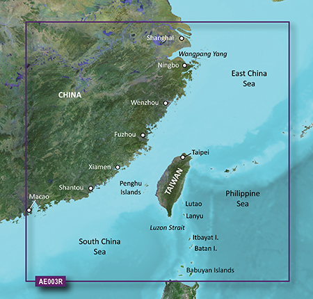
Covers mainland China from Macau to Shanghai, the Taiwanese coast in its entirety, and the Babuyan Islands to the south. Included in this overall general coverage are a number of detailed charts covering areas such as Chi-Lung, Tai., Kao-Hsiung, Tai., Shanghai, Chi., Xiamen, Chi., Guangzhou, Chi., and Hong Kong.
FID: 3494, PID: 1, RID: 3, VID: 3
Locked Image:
UnLocked Image:
See your vessel’s precise, on-chart position in relation to navaids, coastal features, anchorages, obstructions, waterways, restricted areas and more with this detailed marine mapping data.
- Shaded depth contours, coastlines, spot soundings, navaids, port plans, wrecks, obstructions, intertidal zones, restricted areas and IALA symbols.
- Seamless transitions between zoom levels and more continuity across chart boundaries.
- Standard 2-D direct overhead or 3-D “over the bow” map perspective for easy chart reading and orientation.
- Safety Shading* enables contour shading for all depth contours shallower than your defined safe depths.
- Fishing Charts* to scope out bottom contours and depth soundings with less visual clutter on the display.
- Plan and organize routes from your computer with HomePort™ (sold separately).
Covers mainland China from Macau to Shanghai, the Taiwanese coast in its entirety, and the Babuyan Islands to the south. Included in this overall general coverage are a number of detailed charts covering areas such as Chi-Lung, Tai., Kao-Hsiung, Tai., Shanghai, Chi., Xiamen, Chi., Guangzhou, Chi., and Hong Kong.
FID: 3494, PID: 1, RID: 3, VID: 3
Locked Image:
UnLocked Image:
- Code:
https://buy.garmin.com/en-US/US/prod33626.html
Re: BlueChart g2 - HAE003R - Taiwan 2014.5 (16.00)
Wed Jun 24, 2015 6:44 am
thank you so so so so much!
Re: BlueChart g2 - HAE003R - Taiwan 2014.5 (16.00)
Sun Jan 30, 2022 10:26 am
Reuploaded
- Hidden Content
- This board requires you to be registered and logged-in to view hidden content.