Forum
Forum
Part Number: 010-11404-02
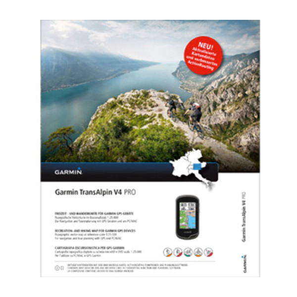
Always find the right tracks for your alpine adventure with this ultimate map for outdoor recreation. It includes hiking/mountain biking trails, mountain peaks and crossings as well as searchable points of interest.
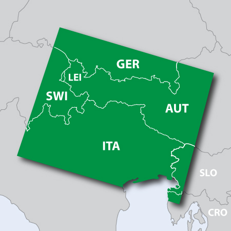
- Shows high quality digital topographic vector map data (1:25.000) in parts of Austria, Italy, Germany, Switzerland and Slovenia.
- Includes Digital Elevation Model (DEM) and dense contour intervals of 20 meters equidistance.
- Includes searchable business, touristic, outdoor, recreation, geographic places, mountain ranges, city-points and many other recreational POIs.
- Includes detailed recreational network information, especially hiking and mountain biking.
- Includes Transalp Mountain Bike network information with named trail routing support and additional long distance trails for cycling.
- Offers ActiveRouting¹, allowing you to customize and specifically plan routes for the entire road and trail network. The activity-specific map displays highlights of suggested routes in addition to dedicated biking and hiking routes.
- Shows dense coverage areas, including mountain tops, mountain shelters and cable cars.
- Includes BaseCamp™ software for managing data on your GPS and computer, playing back routes and tracks, geotagging photos and more.
Features high quality digital topographic vector map data in parts of Austria, Italy, Germany, Switzerland and Slovenia, specifically:
- Germany (south of 48° northern latitude)
- Southern part of Bavaria
- Southeast part of Baden-Württemberg
- Austria (west of 14° eastern longitude)
- Tyrol
- Vorarlberg
- Salzburg
- Parts of Kärnten
- Parts of Upper Austria and Steiermark
- Switzerland (east of 9° eastern longitude)
- Thurgau
- St. Gallen
- Appenzell (Ausserohden and Innerrohden)
- Graubünden
- Glarus
- Lichentenstein
- Italy (north of 45.2° northern latitude)
- Trentino/South Tyrol
- Friuli
- Veneto (with Verona and Venice)
- Lombardy (with Milan)
- Slovenia (west of 14° eastern longitude)
FID: 3398
Download:
- Code: Select all
https://buy.garmin.com/en-US/US/maps/prod163407.html