
 Forum
Forum
Requirements: compatible Garmin Devices
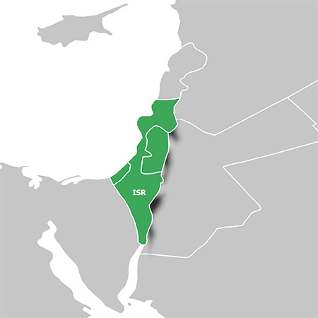
Overview: Orienteer and reference any outdoor or recreational activity in Israel with this map, compiled using the community-generated OpenStreetMap (OSM) database.
Includes road, path and trail network with routing designed for recreational activities
Offers a large points of interest database with popular tourist destinations, including restaurants, bars, hotels, car parks, campsites and more
Displays hydrographic features, place names, man-made areas, natural features, land use areas, international boundaries and more
Shows mountain summits, height contours and digital elevation model (DEM) for route profile preview using our free downloadable trip-planning software, BaseCamp
More Info:
- Code: Select all
https://buy.garmin.com/en-US/US/prod513037.html
Download Instructions:
- Hidden Content
- This board requires you to be registered and logged-in to view hidden content.
Inside:
non locked image file
hoster:
filefactory
share-online.biz


